|
Geophysical investigations
were performed to provide subsurface images
using a
200MHz GSSI SIR 3000 GPR system, a Geometrics
G-858 magnetometer in
gradiometer mode, and a
DAS-1 64-electrode resistivity meter
from Multi-Phase Technologies
and the processing software
ERTLab. Lines
were spaced at 5ft for the GPR and
magnetometer surveys, and a Dipole-Dipole
array with a spacing of 3m was used to
produce the resistivity results.
Although the
magnetometer survey did not provide useful
information regarding the location of the
cave, the ramp of the entrance to the cave
was identified using the GPR. The
shape of the cave was mapped with the
resistivity survey.
|
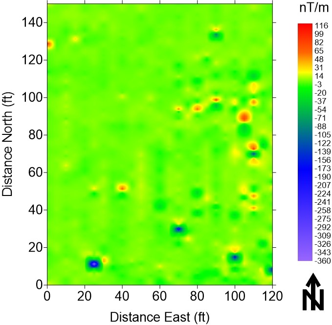
Magnetometer survey results (vertical
magnetic gradient).
|