|
Mud volcanoes in the Colorado River delta
have been the focus of several interesting
discoveries within the Kutztown University
Physical Sciences Department.
A joint collaboration between
geologists, physicists, and chemists in this department
over the course of two summers of field work
in Hite, Utah, has created several
undergraduate research projects.
These mud volcanoes were originally
reported by Netoff, et al. (2010) who
examined earthquake epicenters in the Lake
Powell vicinity and demonstrated that
earthquakes of greater than 5.5 magnitude
did not occur. The absence of significant
seismic shaking indicates that the spectrum
of features associated with these mud
volcanoes must be of aseismic origin. They are particularly interesting as they expel methane gas
(Livingston et al., 2014) and display more
complex surficial geometries and structures
than previously documented in other sand and
mud volcanoes in the literature.
|

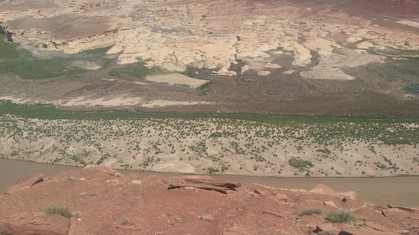
Picture taken from the cliff overlooking the
Colorado River and the adjacent mud
volcanoes
|
|

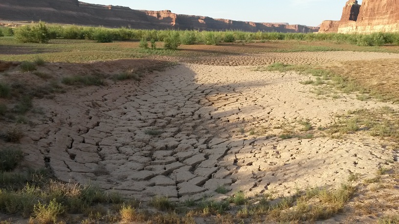
Mud volcano crater at the site in Hite, Utah
|
With funding from PASSHE
(Pennsylvania State System of Higher
Education),
Dr. Sherrod brought
four undergraduate research students (Ryan
Higgins, Kaley Miller, Kelly Morgano, and
David Vales) and one recent graduate (Emily
Snyder) to Hite, Utah to perform geophysical
surveys over the mud volcano craters with
the intent of generating a three dimensional
image of the subsurface structure of the mud
volcanoes. Dr. Simpson met the group
in Utah and introduced them to the site.
field days started early to avoid the
intense July Utah heat. A record was
kept of the daily events:
Daily log |
|
The first days were spent determining an
appropriate survey location. A rise in
the level of Lake Powell had flooded the
intended survey site of active mud
volcanoes, causing the field crew to move
upstream to inactive mud volcanoes. An
inactive, multi-vent mud volcano crater was
chosen as the primary target. The
first several days were dedicated to
resistivity surveys. The soil
conditions were dry at the time of surveying
requiring the electrodes to be watered to
provide good electrical contact. GPR
profiles were performed over similar survey
transects. The final days in the field
were dedicated to excavation, to confirm the
results of the geophysical surveys.
|

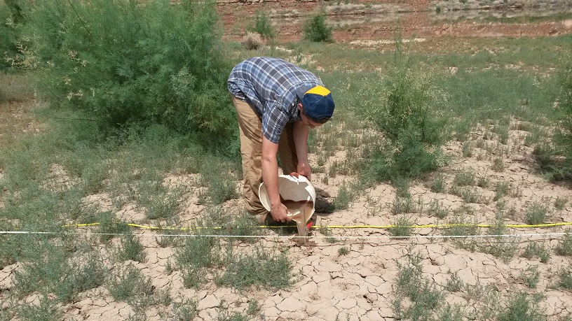
Ryan Higgins waters the electrodes for the
resistivity survey |