|
Geophysical investigations were performed to
provide subsurface images using a
400MHz GSSI SIR 3000 GPR system and
a Geometrics
G-858 magnetometer in
gradiometer mode. Lines
were spaced at 2ft to provide complete
coverage of the survey area.
Foundation stones should appear as
hyperbolic reflections in the GPR profiles
due to the discrete nature of the stone in
the soil and the diffraction of the radar
energy off the edges of the stones.
Several hyperbolic reflections were
identified in the analysis of the GPR
profiles, but plots of the locations of
these reflections did not correspond to the
general shape of a building.
Another category of GPR anomaly was
observed at this site: a high amplitude,
concave reflection.
The size of these anomalies may
correspond to the approximate size of
buildings, but conclusive interpretations
are not possible with the geophysical data
collected.
Excavation would be a potential next
step.
|
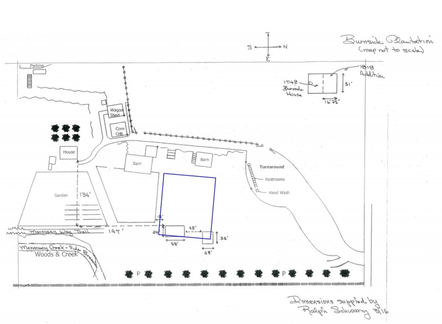 Site
map showing the location of the geophysical
surveys outlined in blue. Site
map showing the location of the geophysical
surveys outlined in blue.
|