|
As part of the 300th celebration of the
founding of the congregation of the Bangor
Church (1722-2022), the Geophysics Society
of Kutztown University was invited to
Narvon, PA to perform geophysical
investigations. The purpose of these
investigations was to locate the foundation
of the original 1756 stone church. The
estimated size of the old church foundation
is less than 35 ft by 75 ft, with an
expected location directly east of the
present church, constructed in 1830. This
area of land contains numerous headstones,
but a section that is conspicuously clear of
headstones is believed to be the location of
the original foundation.
|
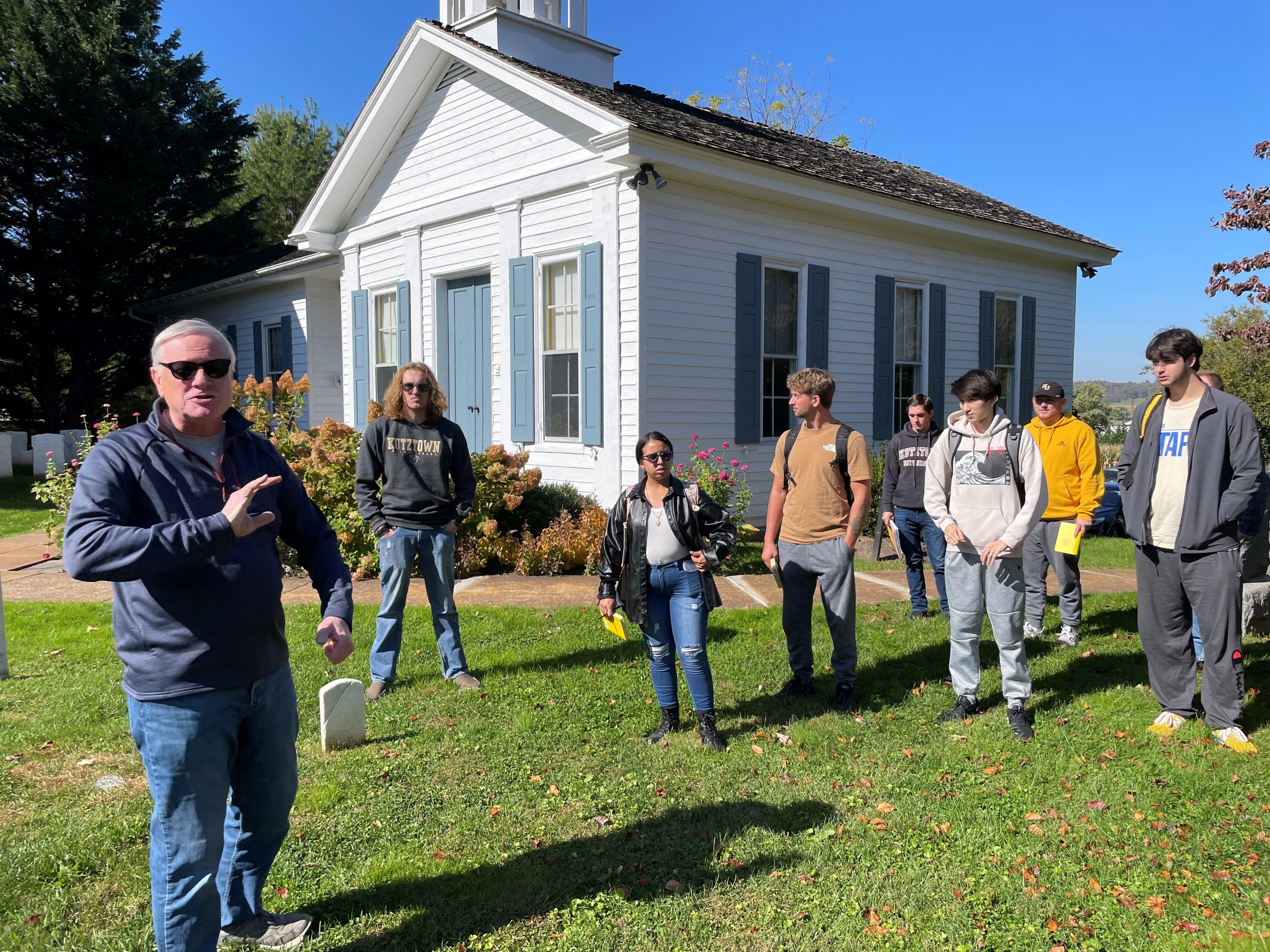
Site introduction
|
|
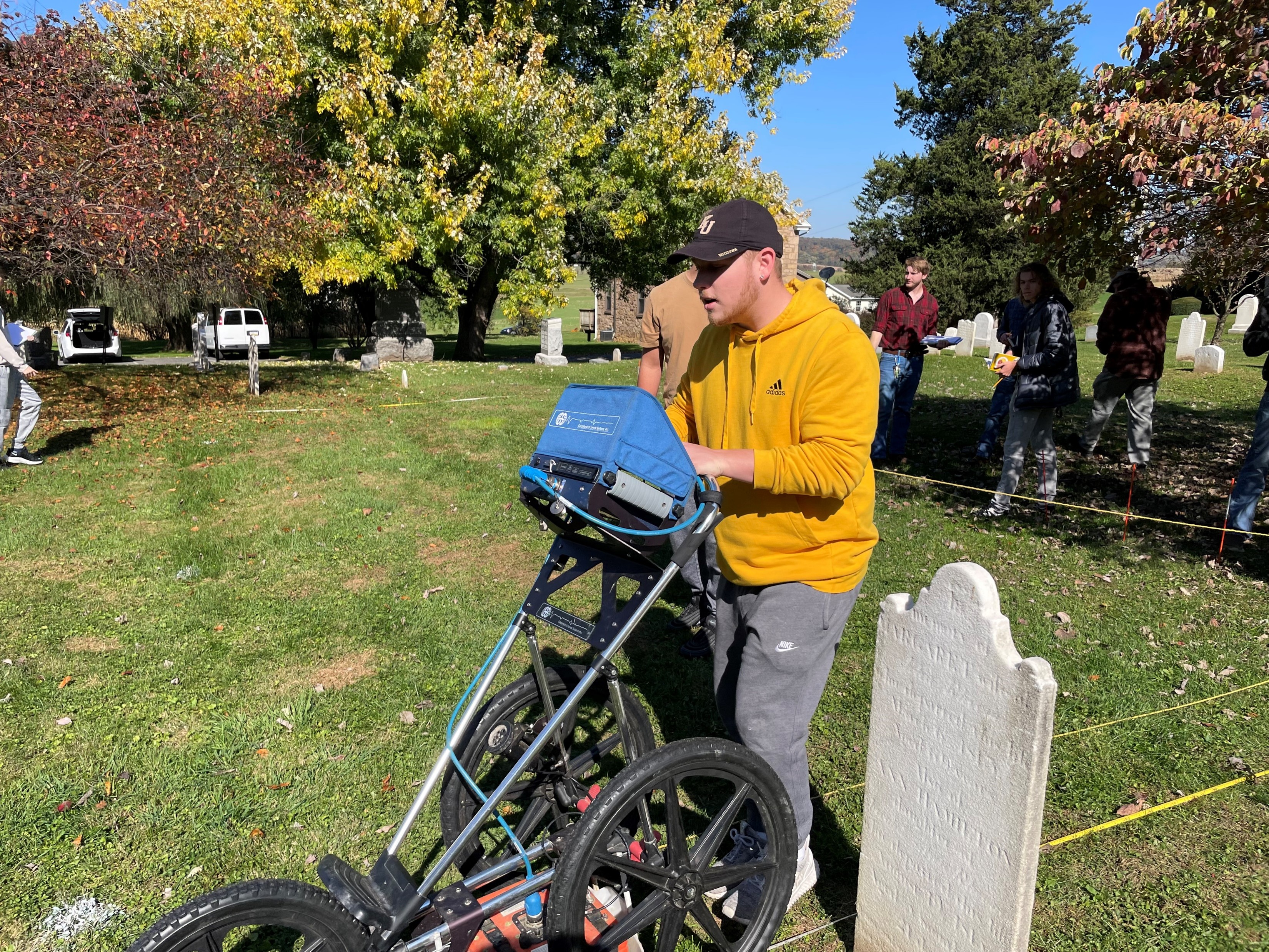
GPR surveying at Bangor Church
|
Prior ground testing indicated a
rectangular pattern of buried objects at
this location that may be related to the
original foundation. Magnetometer and
ground penetrating radar (GPR) surveys were
performed at this site to assist with the
verification of the location of the original
church foundation. Geophysical data
analysis produced a clear image of a corner
that may be part of the foundation of the
original church building but did not
conclusively delineate the entire
rectangular foundation.
|