|
Geophysical investigations
were performed to provide subsurface images
using a
400MHz GSSI SIR 3000 GPR system and a Geometrics
G-858 magnetometer in
gradiometer mode. Lines
were spaced at 1.5ft to provide complete
coverage of the survey area.
The
schoolhouse was apparent in the GPR
timeslices (right) in the southwestern
corner of the survey area. The high
amplitude reflection of the GPR signal from
the foundation stones clearly shows the
rectangular shape of the building as well as
the dividing wall in the center which
separated the school room from the living
space of the teacher.
|
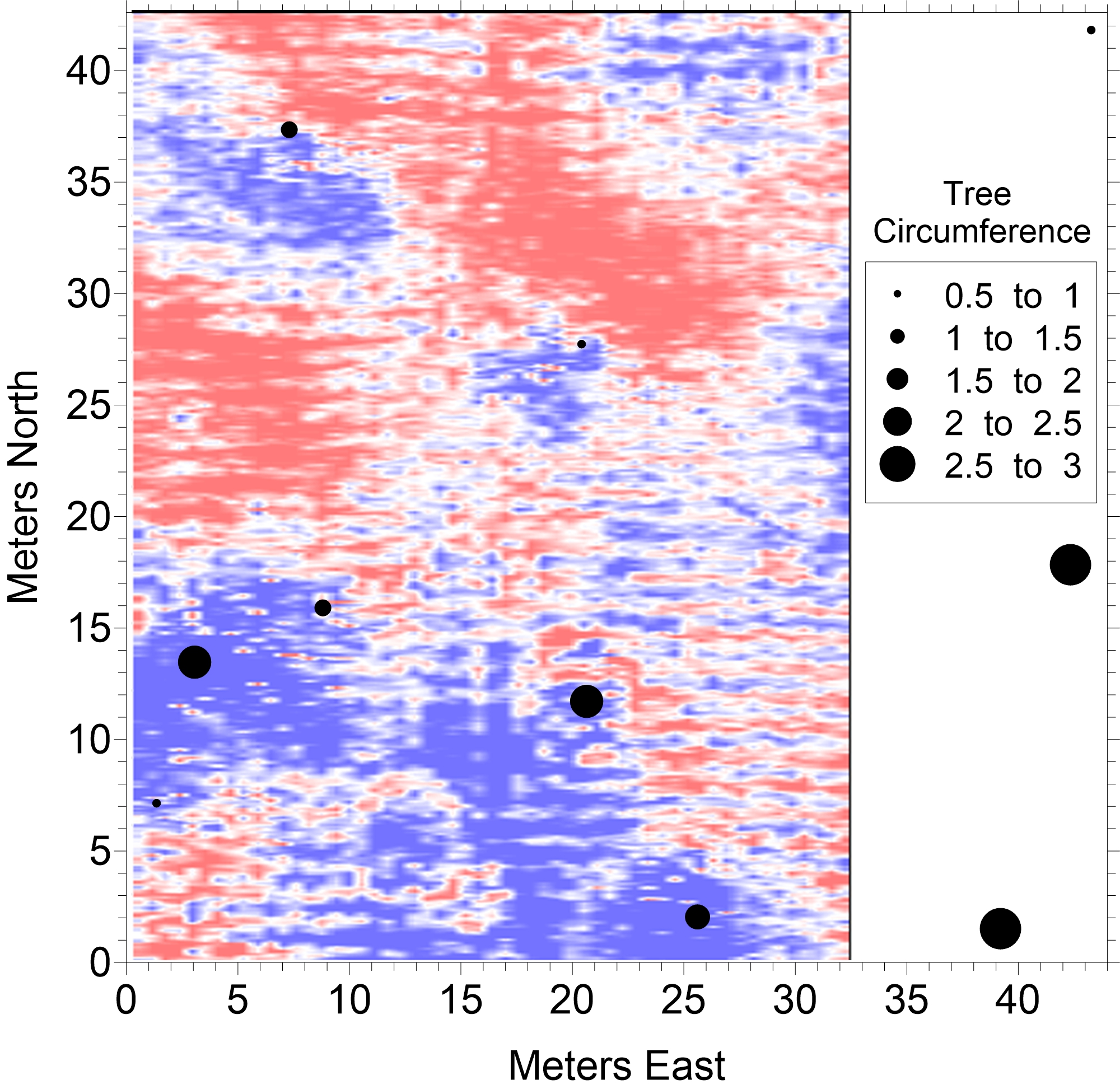
GPR timeslice of the survey area showing the
outline of the schoolhouse in the southwest.
|
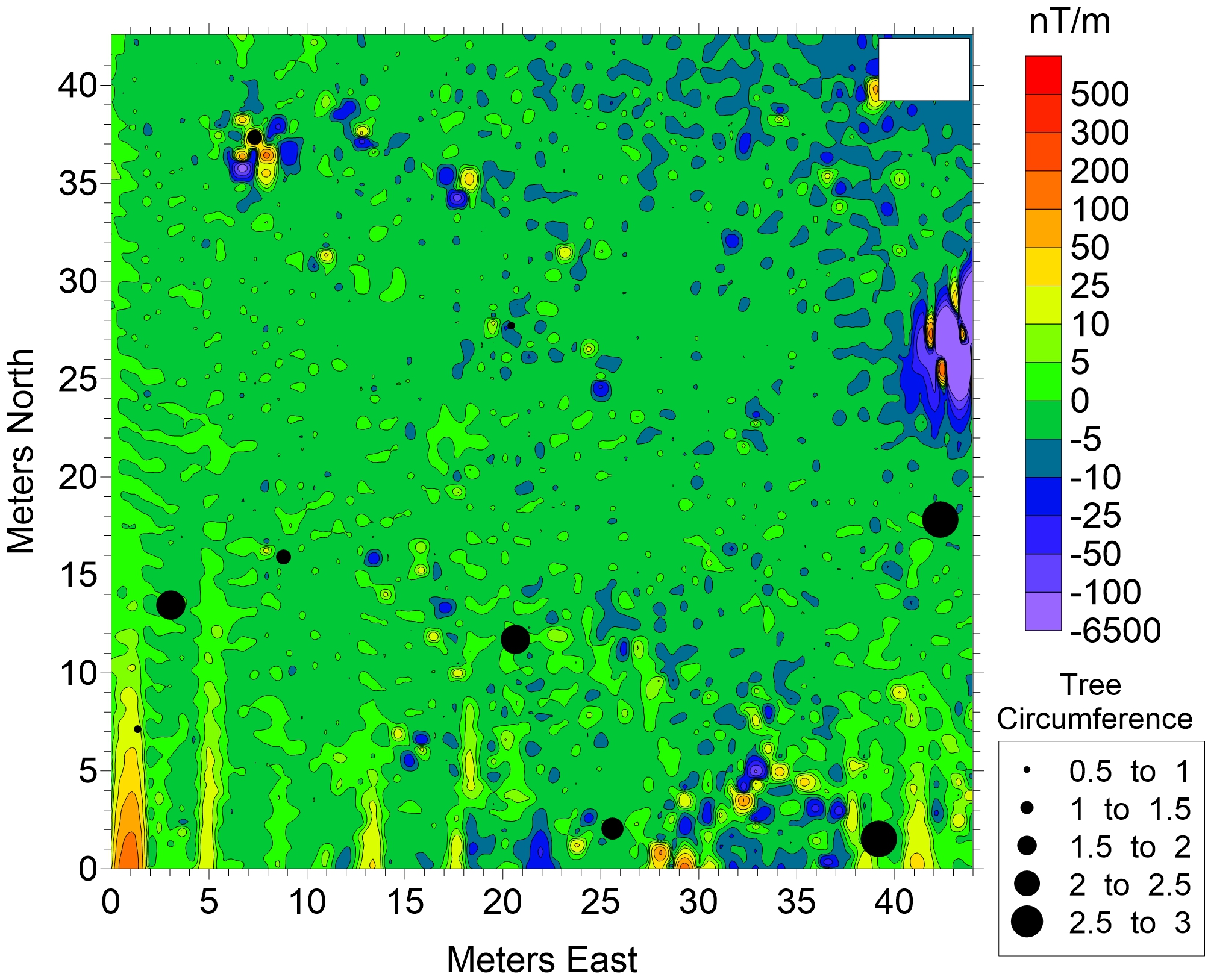
Magnetometer results showing a cluster of
small anomalies near the presumed location
of the stables.
|
The
magnetic response at this site did not
provide the schoolhouse location or the
number of fireplaces, but a cluster of
magnetic anomalies in the southeastern
portion of the survey area may indicate the
location of the stables that were in use at
the time of the schoolhouse. This
survey location may become the site of a
future archaeology project as KU students
work to unearth the foundation stones of the
schoolhouse. This future work could
confirm the interpretation of the size and
location of the schoolhouse foundation as
well provide answers on the number of
fireplaces present in the last interation of
the schoolhouse.
|