|
Three dimensional imaging of glacial
deposits has become a very important way to
expand our understanding of the geologic
history of locations such as Michigan and
New York. Through the use of methods
such as
Ground Penetrating Radar and
Resistivity, images of the subsurface
can be produced to show the three
dimensional nature of glacial structures and
thus make detailed interpretations of the
processes at work during previous glacial
advances and retreats. Dr. Laura
Sherrod and Kutztown University
undergraduate student Dea Musa joined
Dr. Andrew Kozlowski
and
Dr. Brian Bird of
the New York State Geologic Mapping Program
in the summer of 2012.
|
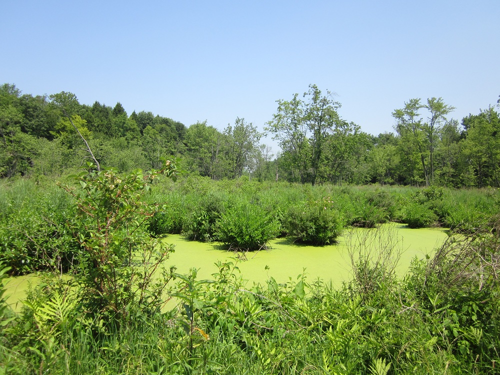 Swampy area between an
esker and a drumlin in the glacial landscape
of central New York.
|
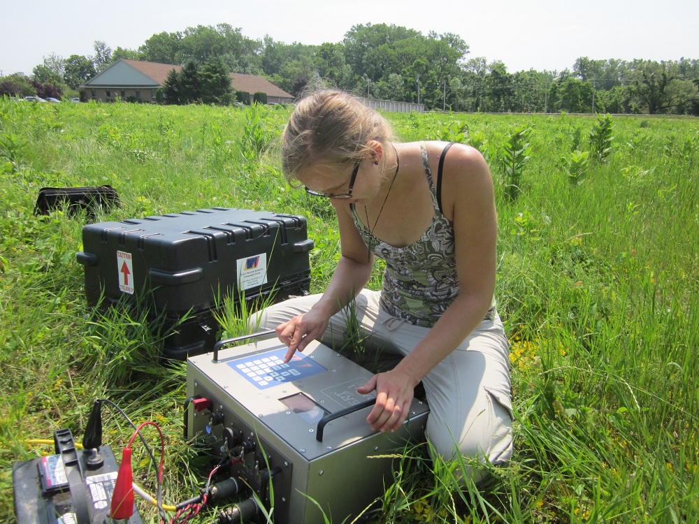 Dea Musa programs the
resistivity meter for a dipole-dipole survey
at the Lyons field site.
|
Two field sites were investigated over the
course of a week of geophysical field work:
Lyons
and
Duck Lake. Duck Lake is located
within Montezuma National Wildlife Refuge,
amongst glacial landforms such as eskers and
drumlins visible at the surface and through
LIDAR images. Lyons is in a similar
glacial region, but is north west of the
wetland complex of Montezuma.
|
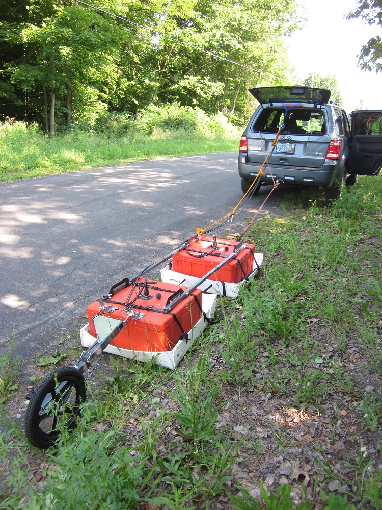
To delineate the three-dimensional trends of the
glacial structures, several geophysical surveys
were performed over a variety of glacial
features. Ten resistivity surveys were implemented to map
channel features in a large delta deposit at
the Lyons site with an MPT DAS-1 Electrical
Impedance Tomography System. GPR profiles,
using a SIR 3000 GSSI radar system with
100MHz, 200MHz and 400MHz antennae, were collected along many
of the resistivity lines at Lyons and through
reconnaissance lines along roads which
followed glacial features such as eskers and
drumlins at the Duck Lake site. Surveys
identified subsurface channel features,
braided gravel deposits, and highlighted the
clay rich nature of the drumlins of this
region.
|
GPR surveys were
performed with several frequencies of
antennae to generate a more complete image
of the subsurface features |