New York Hops Farm Results

Laura Sherrod - 2016

Resistivity surveys were performed using an MPT DAS-1 Electrical Resistivity Tomography system in dipole-dipole array and had electrode spacing of 3 meters with 32 electrodes in each survey.  Glacial heterogeneity was apparent in the results of the surveys at this location (R6).  The spring source was clearly imaged as a low resistivity zone at a depth of approximately 6 meters (R7).  The land owners should be able to tap into this water resource to provide irrigation for their hops crop. 

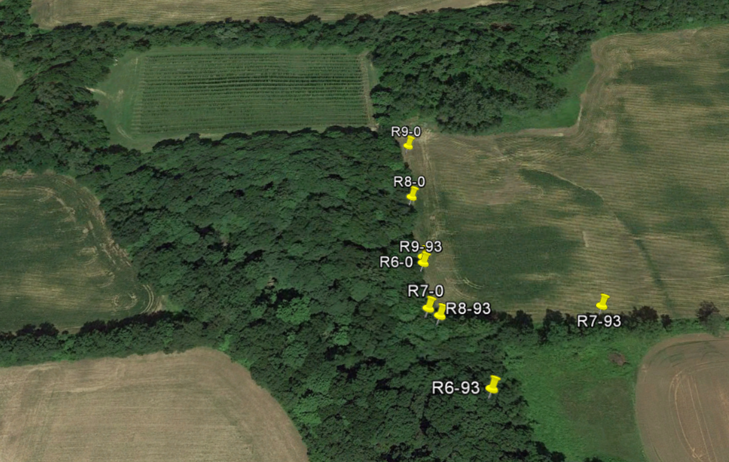
Map showing the endpoints of the surveys at the hops farm with the rectangular hops field in the northern portion of the im age


Resistivity profile R6

Resistivity profile R7

Andy Kozlowski explains the geology of the region while overlooking the ravine Students hike through the ravine to see water seeping from springs in the glacial sediments David Vales sets up the resistivity line at the edge of the corn field.
Students set up the resistivity line in the forested area by the ravine Austin Keller, Bojan Milinic, Ashley Richardson, David Vales, and Sarah Moriarty at the hops farm Resistivity survey line at the edge of the corn field
2016 New York Glacial Surveys
Bedrock Valley Results
Geologic Mapping Resistivity
Sherrod Home Page GSKU