|
Three dimensional imaging of glacial deposits has become a very
important way to expand our understanding of
the geologic history of locations such as
Michigan and New York. Through
geophysical surveys such as
Resistivity,
images of the subsurface can be produced to
show the three dimensional nature of glacial
structures and thus make detailed
interpretations of the processes at work
during previous glacial advances and
retreats. Dr. Laura Sherrod and
Kutztown University undergraduate students
Austin Keller, Bojan Milinic, Sarah
Moriarty, Ashley Richardson, and David Vales
joined Dr.
Andrew Kozlowski and Dr.
Brian Bird of the New York State
Geologic Mapping Program in the summer of
2016.
Two field sites were investigated over the course of the
geophysical field work: a
bedrock valley buried in glacial sediments
and a hops farm.
|
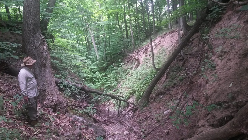
Dr. Andrew Kozlowsi looks down at the
ravine adjacent to the bedrock valley filled
with glacial sediments
|
|
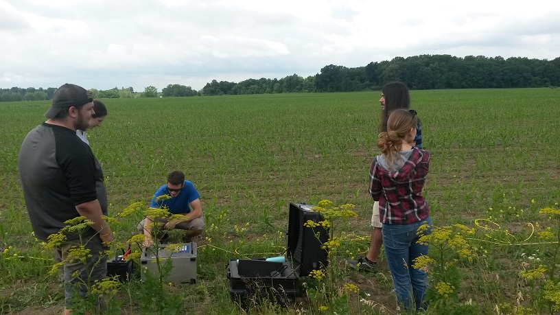
Austin Keller, Ashley
Richardson, David Vales, Bojan Milinic, and
Sarah Moriarty set up the resistivity survey
|
The bedrock valley is located below farmed
fields adjacent to a ravine through the
glacial sediments.
Exposures at
the ravine reveal interesting soft-sediment
deformation features.
The purpose of
the geophysical surveys at this location was
to map the glacial stratigraphy across the
site and, if possible, to identify the depth
to bedrock.
The nearby hops farm is also adjacent to a
ravine through glacial sediments.
This ravine
reveals potential sources of spring water,
which could benefit the agricultural
productivity of the hops.
The purpose of
the geophysical surveys at this location was
to map the potential spring source with the
intent of installing a well to access this
water resource.
|