Geophysical surveying was performed during
the summer of 2010 at the South Flats
Earthwork Site (20MU2) in Muskegon County,
Michigan. This prehistoric earthwork site is
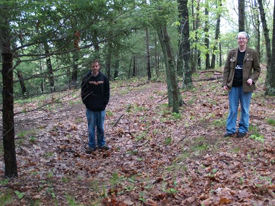
a circular feature of raised earth material
located in a present-day young oak forest.
The enclosure is approximately 25m to 30m in
diameter and has a width of 4m around the
perimeter where the ground relief is altered
approximately 0.5m. It is located within the
Muskegon State Game Area on a bluff
overlooking the Muskegon River.
 |
 |
 |
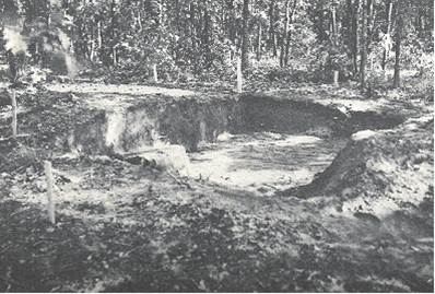
The site was first excavated by the Michigan
archaeologist George Quimby in 1937 and has
been only moderately disturbed by
anthropogenic sources since that time.
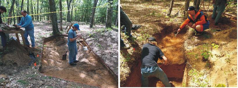
Recent excavation was performed in 2006 by a
team of researchers from Grand Valley State
University, led by
Dr. Janet Brashler and
Dr. Donald Gaff. This field work clarified the
results and aided in the interpretation of
the records kept of the 1937 excavation.
Additionally, the recent excavations
increased overall knowledge of the role that
earthwork structures played in the cultures
of the time.
|
|
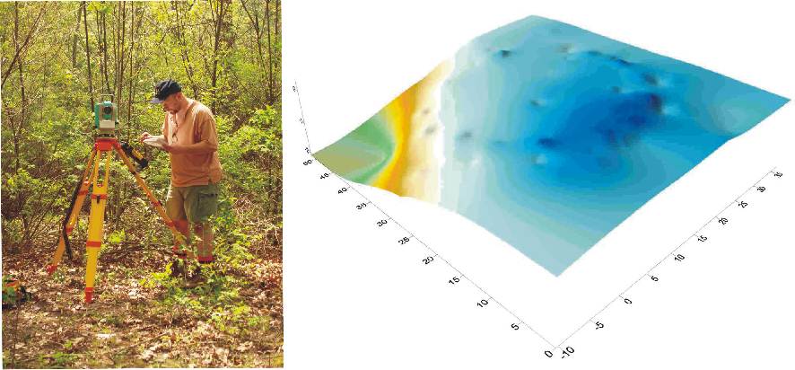
Due to the site location on State-owned
land, excavation is restricted. Dr. Laura
Sherrod was invited to perform geophysical
surveys at this location to guide future
excavations. Ground
penetrating radar and magnetometer surveys
were applied at this site to provide an
image of the subsurface and facilitate
further development of cultural
interpretations. Soil composition is
predominantly sandy making ground
penetrating radar a very effective
geophysical tool. Previous excavation units
and other recent anthropogenic disturbances
are clearly visible in the geophysical
results. The earthwork structure itself is
identifiable through the ground penetrating
radar images and several small-scale
geophysical features aid in site
interpretation. Results from the surveys
provide insight into the prehistoric use of
earthworks structures and illustrate the
complicated nature of interpreting
geophysical surveys at previously excavated
sites. |
 |