Assateague Island Results

Laura Sherrod - 2016

Geophysical investigations were performed to provide subsurface images using 400MHz, 270MHz, and 200MHz antennas with a GSSI SIR 3000 GPR control unit.  Survey lines on Assateague Island showed numerous textural features and potential channel forms.  The 200MHz antenna provided the most clear image of the subsurface at this site.  Channel forms, truncation of bedding, crossbed structures and other textural features were visible in the GPR profiles

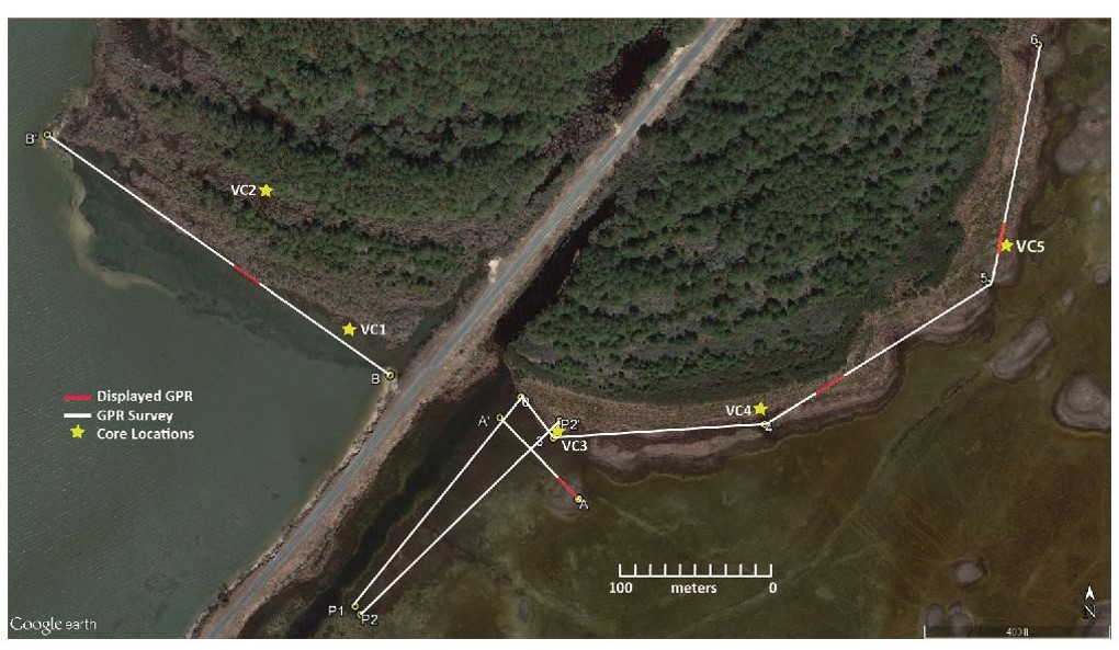
Map of the survey area with endpoints of the surveys marked.


GPR profile between boreholes 4 and 5

GPR profile on the northwest side of the road

GPR profile parallel to the road


Dr. Sherrod sets up the GPR survey wheel Adam Cooper and Sarah Moriarty get ready to survey Adam Cooper and Sarah Moriarty survey with the 200MHz antenna
Adam Cooper and Sarah Moriarty survey with the 270MHz antenna Adam Cooper and Sarah Moriarty discuss the field survey set up Sarah Moriarty surveys with the 400MHz antenna
Assateague Island and Greenbackville
Greenbackville Results
Geologic Mapping Ground Penetrating Radar
Sherrod Home Page GSKU