|
The Montezuma Wetlands Complex of New York
State represents an important hydrologic
zone with a diverse plant and animal
population.
There are several salt springs of
unknown sources in this environment.
Through the use of methods
such as
Ground Penetrating Radar and
Resistivity, images of the subsurface
can be produced to map the location of these
salt springs, or brines, which have a much
higher conductivity than the surrounding
sediments and fresh groundwater. Dr. Laura
Sherrod and Kutztown University
undergraduate students Emily Snyder, Sebastien Treciak, and Alex Spielman joined
Dr. Andrew Kozlowski
and
Dr. Brian Bird of
the New York State Geologic Mapping Program
in the summer of 2013.
|
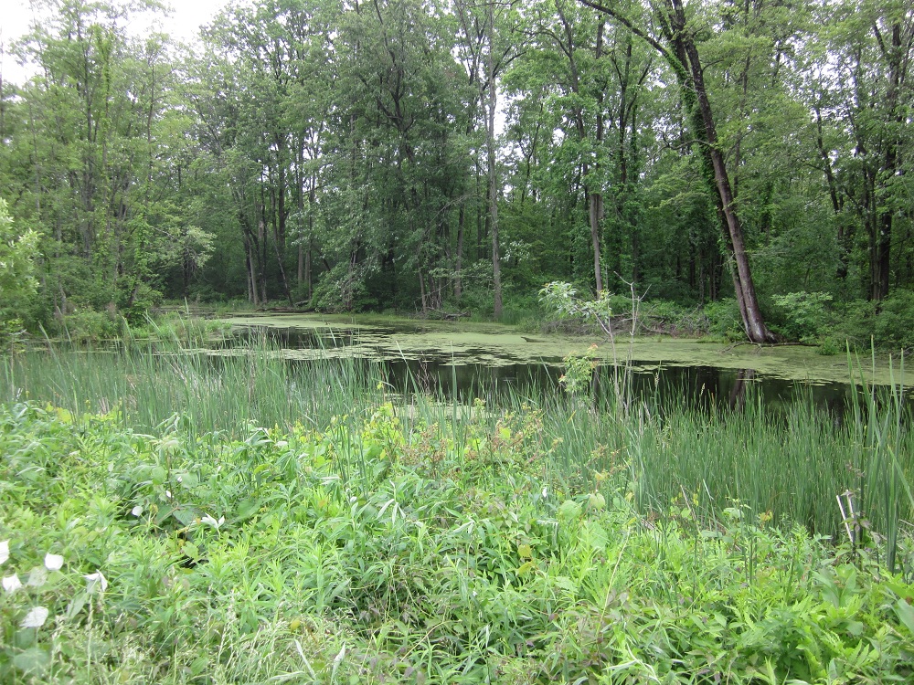
Swampy area along the road that was surveyed
during the 2013 field work.
|
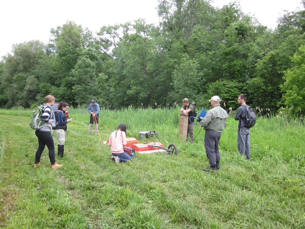
Dr. Kozlowski sets up the 100MHz GPR
antennae at the field site with several
interns and KU students.
|
A single survey site was investigated during a
week of geophysical field work located
within Montezuma National Wildlife Refuge.
This 50,000 acre wetland at the northern
edge of the Finger Lakes is a delicate
ecosystem for a large variety of plants and
animals.
Understanding the glacial history of
this environment and thus the current
hydrogeology will enable the system to be
better protected in the future.
|