 |
 |
 |
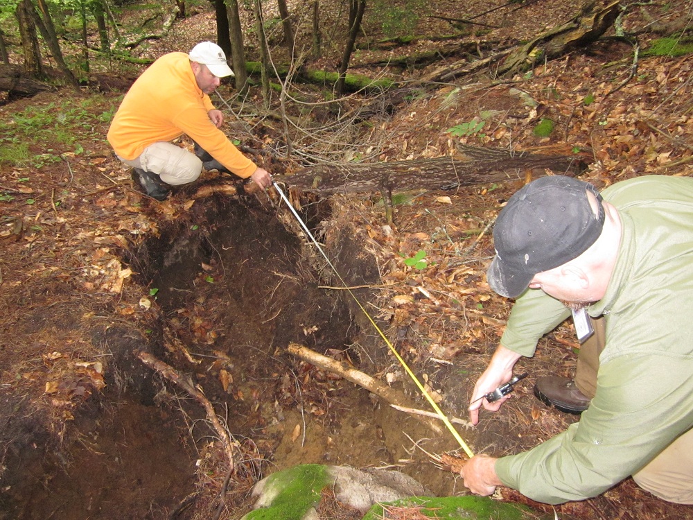
| Andrew Kozlowski (left) and Brian Bird
(right) measure the displacement based on
tree root separation. |
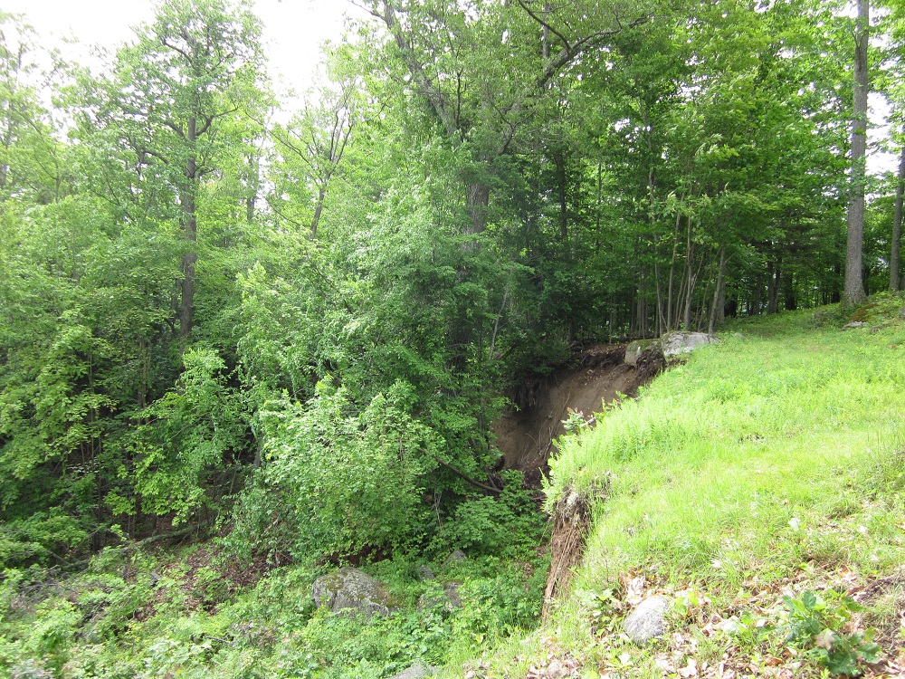
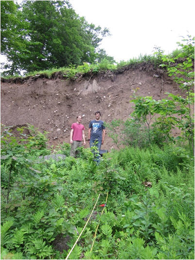
The scarp face is visible just 60m from
surface exposures of bedrock |
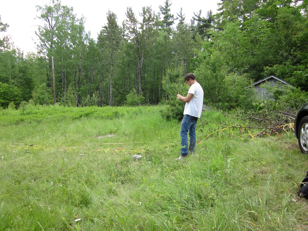
Jarred Swiontek pulls the GPR antenna
adjacent to a scarp face within the
landslide block. |
 |
 |
 |
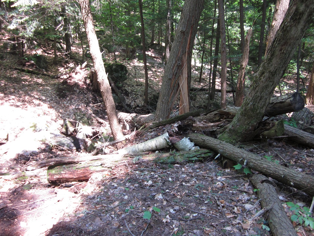
| The force of the movement of 82 acres of
earth is enough to split trees unfortunate
enough to be located on a fissure.
|
Kenneth Schlosser takes notes as the
resistivity survey is performed at the base
of the slide. |
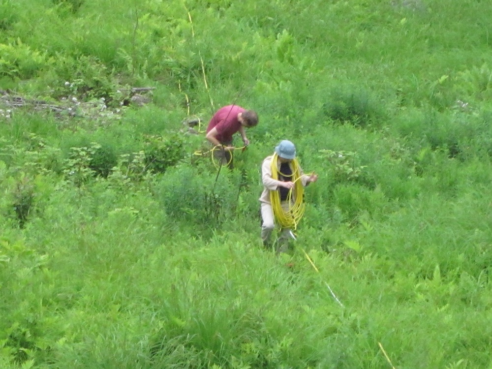
Dr. Sherrod and Jarred Swiontek lay out
the resistivity line on the active
landslide. |
 |
 |
 |
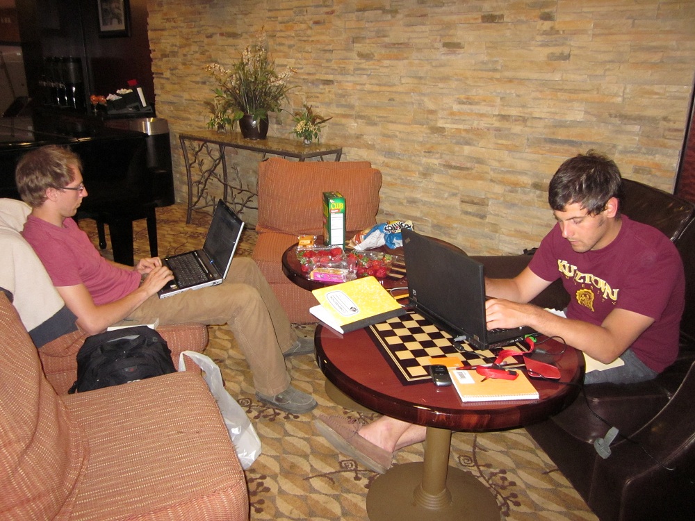
| Late night data processing after a full
day of field work - Jarred Swiontek (left)
and Kenneth Schlosser (right) |
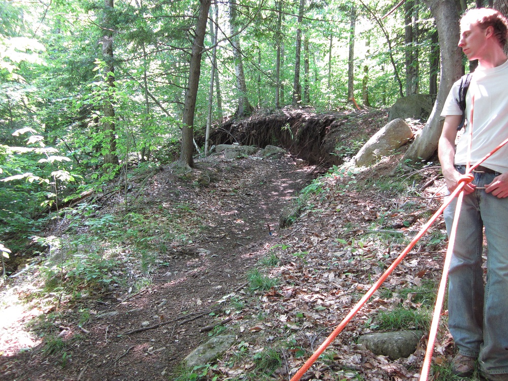
Jarred Swiontek (left) and Kenneth
Schlosser (right) at the scarp at the head
of the slide. |
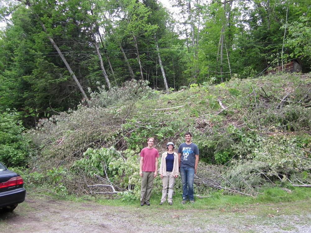
KU research group at the toe of the
slide (note the trees leaning in the
direction of slide movement). |