 |
 |
 |
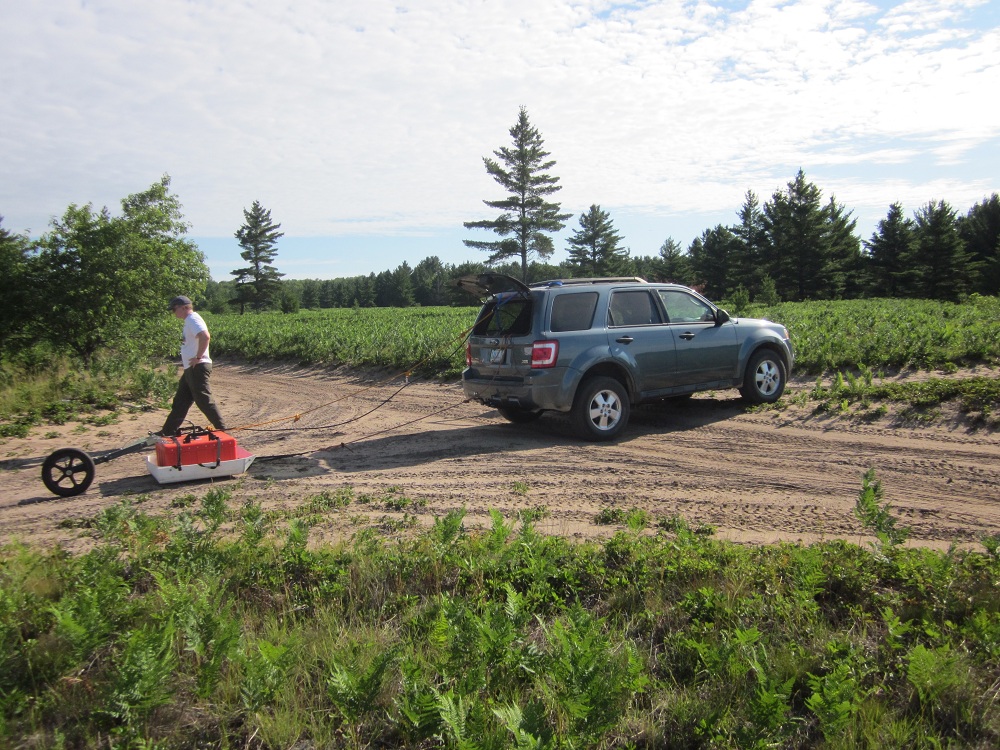
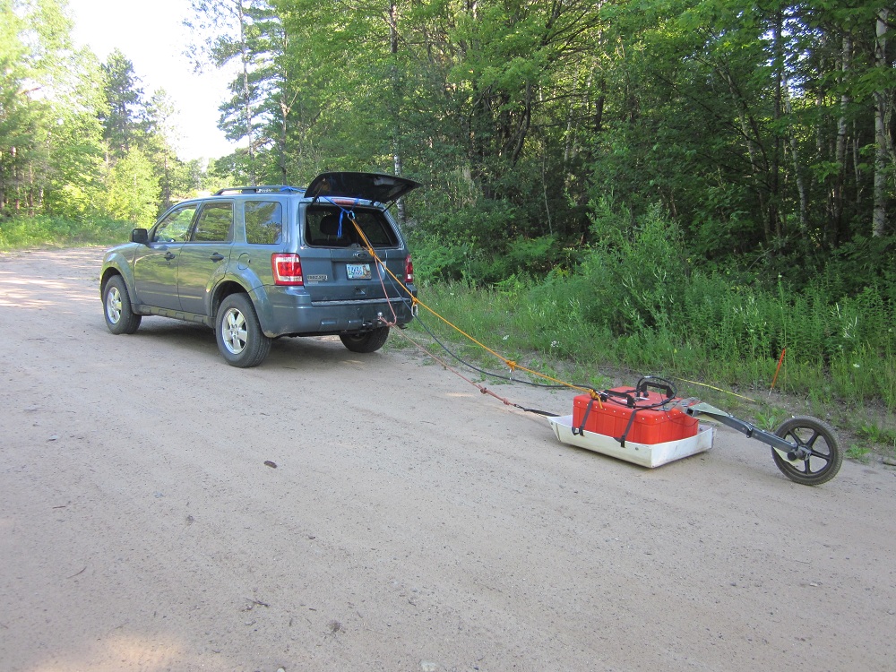
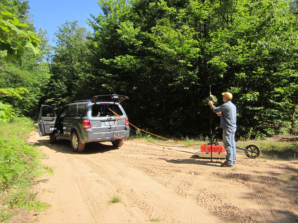
| The 200MHz GPR antenna
was towed behind the field vehicle while Dr.
Drzyzga operated the GPS. |
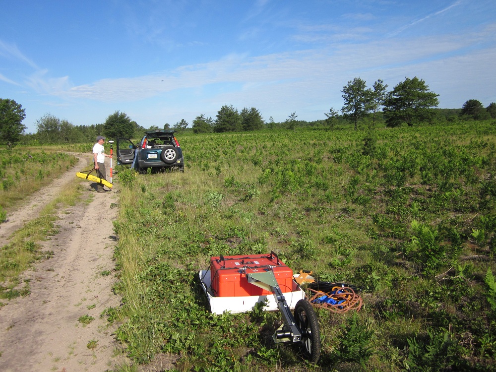
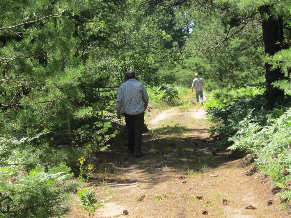
Dr. Blewett walked along
the path to locate the proper direction for
the GPR survey lines. |
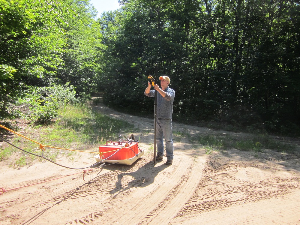
Dr. Drzyzga takes a
detailed GPS reading along the GPS profile. |
 |
 |
 |
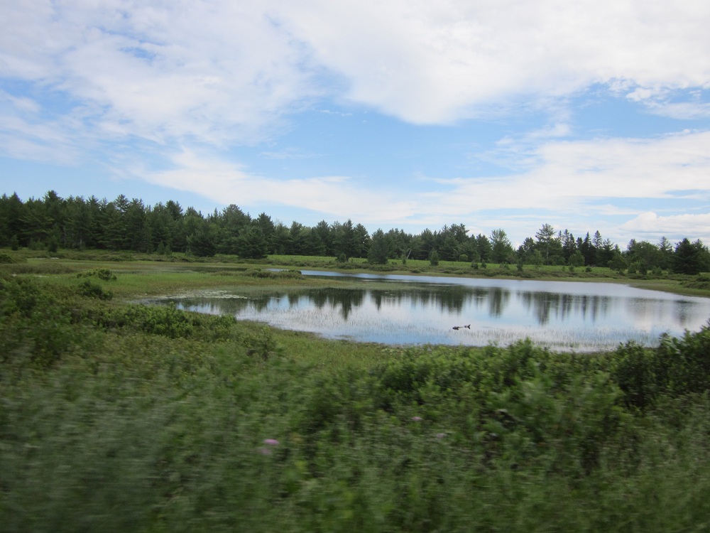
| Some kettle depressions
are filled with water to create kettle lakes
visible beside the survey lines.
|
The 200MHz antenna was
connected to the field vehicle and towed
along the dirt roads. |
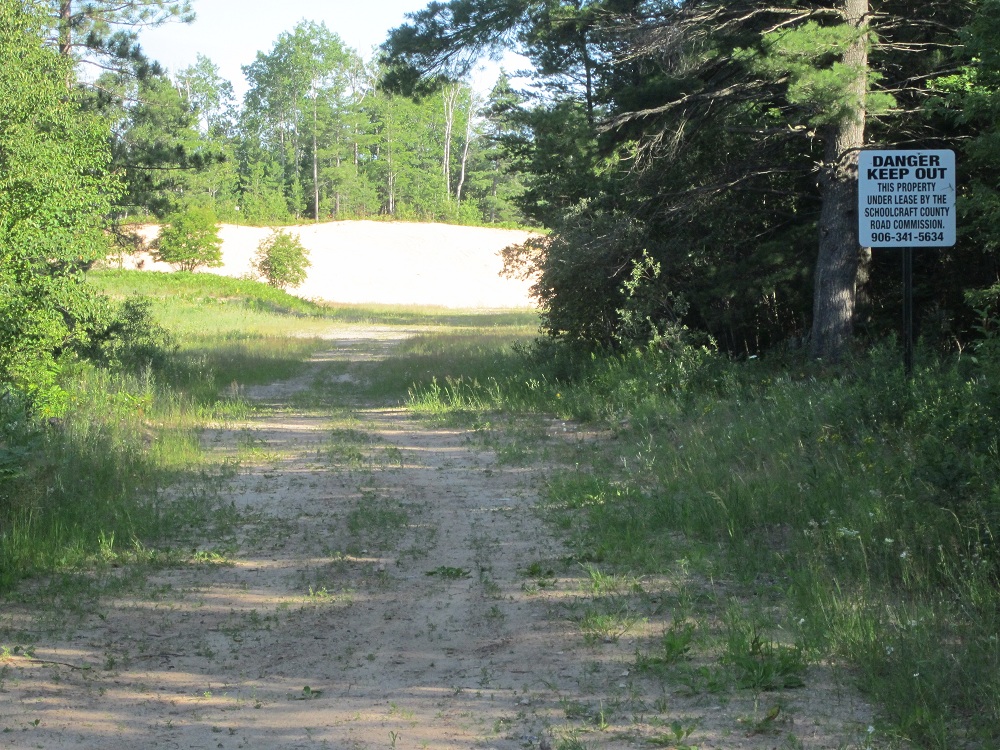
Sand dunes adjacent to
the survey lines indicate the high quantity
of sand in the subsurface, ideal for GPR
surveys |
 |
 |
 |
| Dr. Drzyzga and Dr.
Blewett walk in front of the survey to clear
the path of overhanging limbs
|
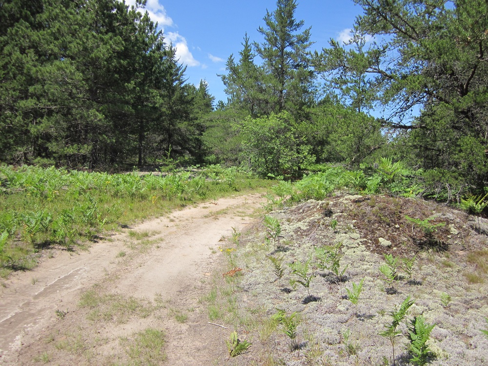
The sandy soils of the
survey location are ideal for GPR surveys. |
Dr. Drzyzga takes GPS
measurements along the survey line. |