|
Three dimensional imaging of glacial
deposits has become a very important way to
expand our understanding of the geologic
history of locations such as Michigan and
New York. Through the use of methods
such as
Ground Penetrating Radar and
Resistivity, images of the subsurface
can be produced to show the three
dimensional nature of glacial structures and
thus make detailed interpretations of the
processes at work during previous glacial
advances and retreats. Dr. Laura
Sherrod joined
Dr. William Blewett
and
Dr. Scott Drzyzga of
Shippensburg University
in the summer of 2012.
|
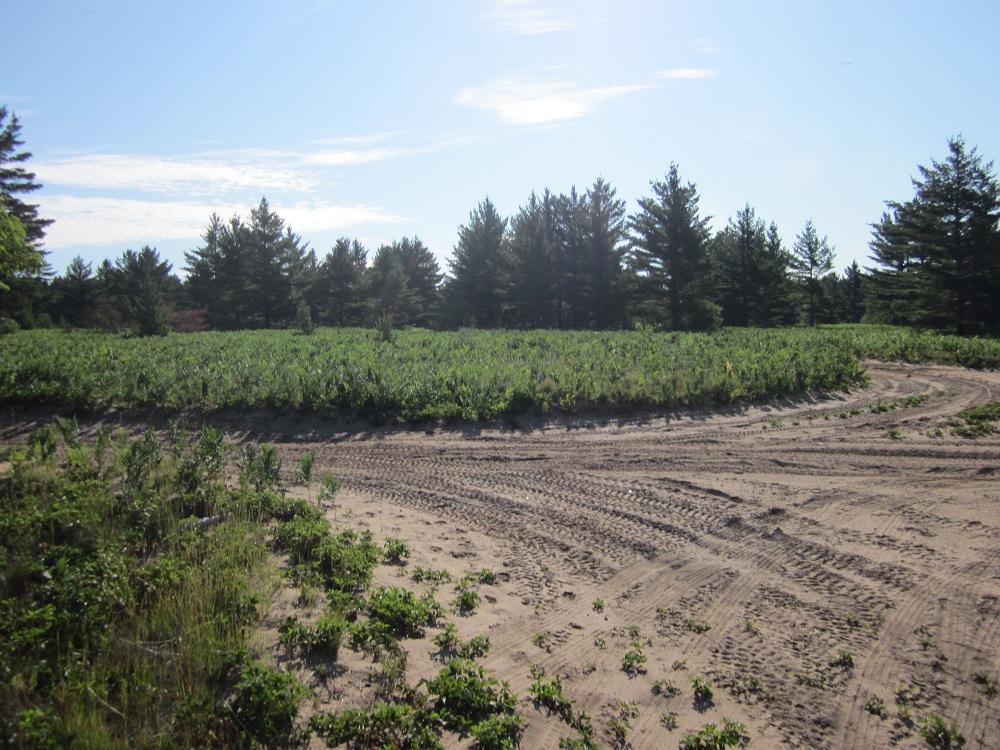 Sandy soils in this
region are ideal for GPR surveys.
|
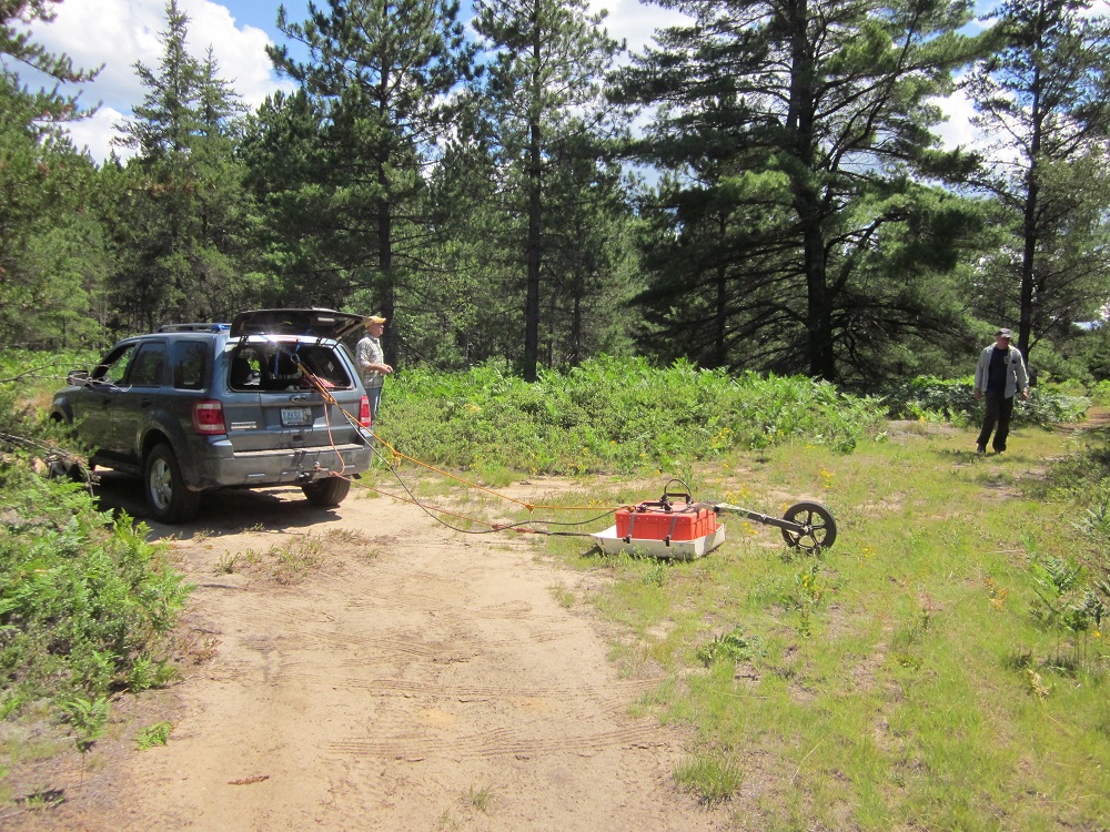
The 200MHz antenna was used to identify
subsurface glacial structures.
|
Three field sites were visited during the
summer field work. The first site was
a possible delta. The intent of
surveying this location was to identify
topset and foreset features in the
subsurface to confirm the delta
interpretation at this location. Field
site number two was an interpreted
convergence between two outwash plains.
This location had numerous kettle
depressions. The final field site was
on another deltaic surface. Again
topset and foreset beds were the target,
with the intent of locating truncation of
those beds from erosional surfaces.
|
The GPR survey lines followed dirt roads in
the Great Lakes region. Intermittent
GPS readings were taken throughout the
survey to provide a map of the location of
the GPR data. The GPS data were
correlated to maps of the area to give a
topographic correction for the GPR profiles.
|
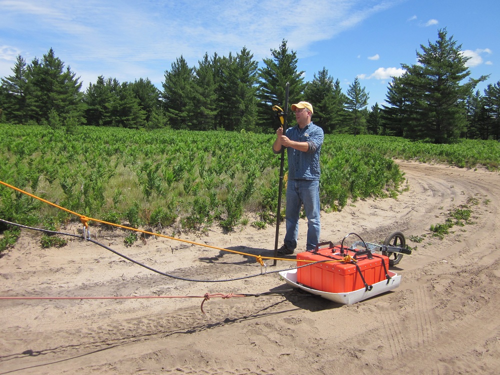
GPS measurements were
taken along the GPR profiles. |