High frequency antennas of 400MHz and 900MHz
were used to map three
Marmota monax
burrows in Kutztown, PA during the Fall
Semester of 2011. An endoscope was
used to confirm the interpretations of the
GPR results. Initial results indicate
that the depth and dimensions of the
burrows, as well as features such as ramps
and offshoot tunnels, can be identified with
the geophysical methods used.
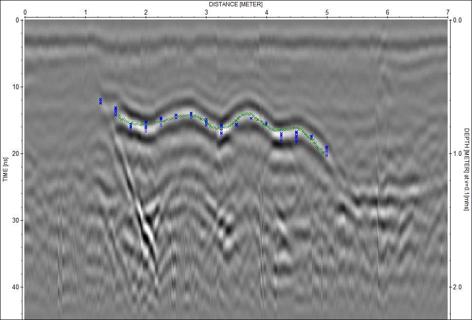 |
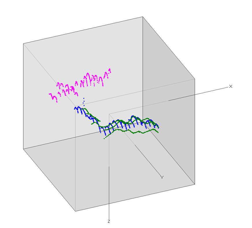
Three dimensional cube (above) shows the
location of groundhog burrows which can be
identified as hyperbolic reflections in the
GPR image when surveyed perpendicular to the
long axis of the burrow, or as linear
features (left) when surveyed parallel to
the long axis of the burrow. |