This project is a
convergence of Paleontology and Geophysics,
performed by Jarred Swiontek, Ken Schlosser,
Dr. Simpson, and Dr. Sherrod.
Burrows preserved as trace fossils in the
rock record are classified into mammal or
non-mammalian categories. This
classification scheme is based upon burrow
complexity, with amphibians and reptiles
excavating simple burrows and mammals
creating more complex networks. There
is a lack of published information on the
layout of these burrows as traditional
methods require the disruption of the burrow
to determine its track. However, by
employing geophysics, these burrows can be
mapped using non-invasive geophysical
techniques such as ground penetrating radar
(GPR).
|
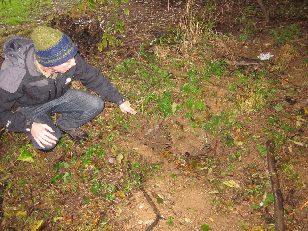
Jarred Swiontek (right) points to a
groundhog burrow on the campus of Kutztown
University. |
|
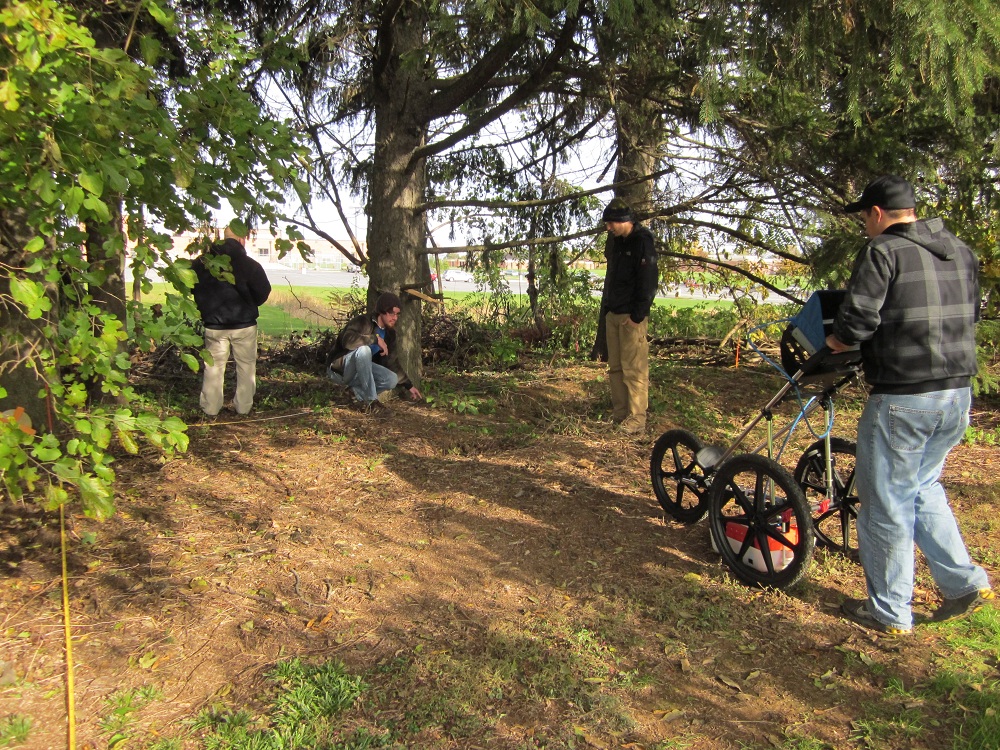
The 400MHz antenna (left) was used to survey
groundhog burrows in Fall 2011.
|
High frequency antennas of 400MHz and 900MHz
were used to map three
Marmota
monax
burrows in Kutztown, PA during the Fall
Semester of 2011. An endoscope was
used to confirm the interpretations of the
GPR results.
|
Initial results
indicate that the depth and dimensions of
the burrows, as well as features such as
ramps and offshoot tunnels, can be
identified with the geophysical methods
used. Additional results of this
project will be posted at a later date.
|
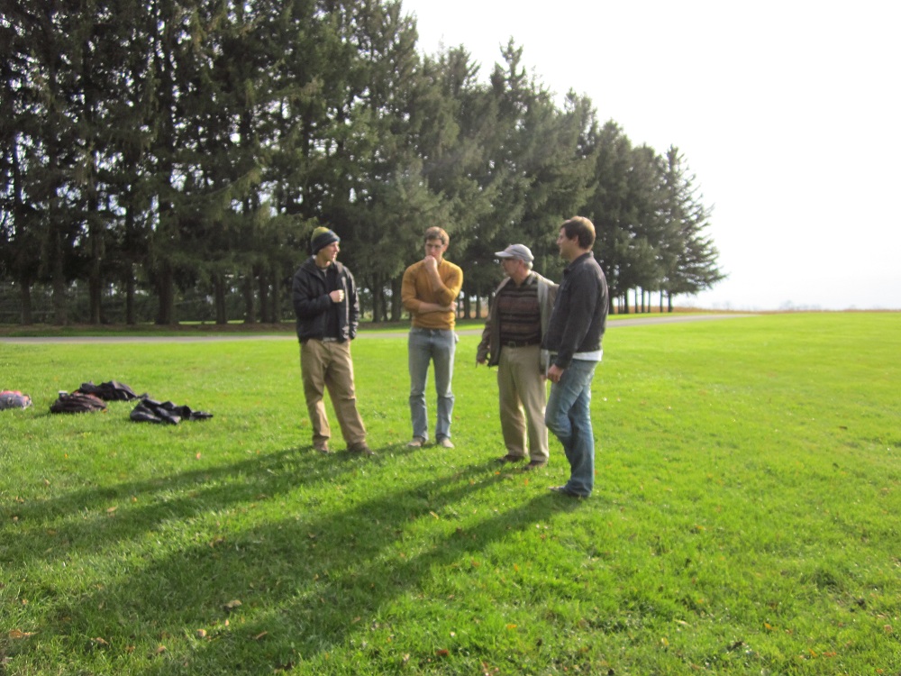
Jarred Swiontek, Jeff Kadegis, Dr. Simpson,
and Kenneth Schlosser (right, names from
left to right) discuss the survey in the
field beside the groundhog burrow. |