Musa, D., Sherrod, L., Kozlowski, A., Bird, B. 2013. Geophysical Investigations of Glacial History near the Montezuma Wetlands Complex in New York. Proceedings of the Symposium on the Application of Geophysics to Engineering and Environmental Problems (SAGEEP ’13), Denver, CO, (17 March – 21 March 2013)..
 The
Montezuma Wetlands Complex of New York State represents an important
hydrologic zone with a diverse ecosystem. The present landscape was
created through numerous glacial cycles with the surficial geology
representing deposition as ice retreated across New York from the
last glacial maximum, 26,000 years BP. These deposits produced the
intricate hydrologic network of the Montezuma Wetlands and
surrounding areas. In the summer of 2012 two sites were identified
through LIDAR imagery and surveyed with geophysical methods. The
first location, in Lyons, is a glacial melt water channel 15km
northwest of the Montezuma Wetlands, containing abundant plant
macrofossils which were used to constrain the date of the
sediment. Interpretations of the direction of meltwater flow
paths were made at this site. The second site, located near Duck
Lake, consists of a drumlin, an esker, and an esker fan deposited at
the ice margin where the esker emerges from under the glacier.
The proximity of such varied glacial features makes this a
fundamental site for cataloging geophysical responses.
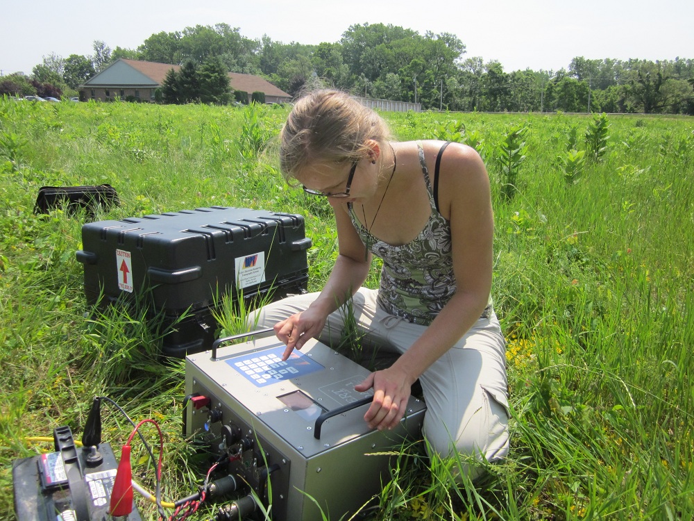
Resistivity data were acquired at the first location with a DAS-1
system at 1, 2, and 5 meter electrode spacing using a dipole-dipole
array. A GSSI SIR 3000 system with 100, 200, and 400 MHz antennas
was used to collect GPR data at both locations. Topographic
corrections were made using GPS points in conjunction with LIDAR
data. Cross cutting subsurface channels on the delta deposit
sediment at the first site indicate anastomosing features of water
during glacial retreat. Braided gravel deposits and large boulders
identified through hyperbolic GPR reflections along the esker and
across the fan shaped deposit confirm glacial gravel deposition.
These geophysical results, combined with borehole logs and
radiometric dating provide a better understanding of the glacial
processes in this important wetland, influencing the landscapes and
ecosystems present today.
The
Montezuma Wetlands Complex of New York State represents an important
hydrologic zone with a diverse ecosystem. The present landscape was
created through numerous glacial cycles with the surficial geology
representing deposition as ice retreated across New York from the
last glacial maximum, 26,000 years BP. These deposits produced the
intricate hydrologic network of the Montezuma Wetlands and
surrounding areas. In the summer of 2012 two sites were identified
through LIDAR imagery and surveyed with geophysical methods. The
first location, in Lyons, is a glacial melt water channel 15km
northwest of the Montezuma Wetlands, containing abundant plant
macrofossils which were used to constrain the date of the
sediment. Interpretations of the direction of meltwater flow
paths were made at this site. The second site, located near Duck
Lake, consists of a drumlin, an esker, and an esker fan deposited at
the ice margin where the esker emerges from under the glacier.
The proximity of such varied glacial features makes this a
fundamental site for cataloging geophysical responses.
Resistivity data were acquired at the first location with a DAS-1
system at 1, 2, and 5 meter electrode spacing using a dipole-dipole
array. A GSSI SIR 3000 system with 100, 200, and 400 MHz antennas
was used to collect GPR data at both locations. Topographic
corrections were made using GPS points in conjunction with LIDAR
data. Cross cutting subsurface channels on the delta deposit
sediment at the first site indicate anastomosing features of water
during glacial retreat. Braided gravel deposits and large boulders
identified through hyperbolic GPR reflections along the esker and
across the fan shaped deposit confirm glacial gravel deposition.
These geophysical results, combined with borehole logs and
radiometric dating provide a better understanding of the glacial
processes in this important wetland, influencing the landscapes and
ecosystems present today.