Streams
crossing abandoned underground mines in the upper Schuylkill River
Basin frequently lose water and may stop flowing because of
streambed leakage to the mines, while perennial streamflow is
sustained downstream by abandoned mine drainage (AMD) that
contaminates the river. To sustain aquatic ecosystems in this area
streamflow must be restored. Water quality and discharge measurement
stations were established at several locations along the West West
Branch of the Schuylkill River headwaters near Forestville,
Pennsylvania in the spring of 2012. Locating sites of
streambed flow loss is difficult because leakage may not take place
at discrete sites and could vary with flow conditions. Although flow
is perennial in upstream reaches of this channel, downstream
segments experience intermittent flow. A section of stream with
measured flow loss was further investigated with geophysical methods
in a CUASHI-funded undergraduate research venture. The
geophysical survey area consists of a 500-m long and 10-m wide
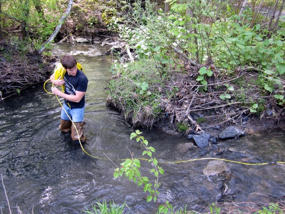
channel. Several methods were performed in the study: resistivity
(dipole-dipole array with an electrode spacing of 5m), EM (EM-34,
GEM2, Dualem-1S), discharge analysis, mass balance using sulfate
anions as a tracer, and local stream bed and water temperature.
Resistivity and EM methods were used to pinpoint areas of low
subsurface conductivity which may relate to seeps linking the stream
to the underground mine pool. As these seeps may provide
transport mechanisms for water flowing into or out of the stream,
areas of low conductivity were then further investigated with
discharge measurements to quantify spatial and temporal variations
in flow and water chemistry along the 1.5 km stream segment.
Likewise, stream bed temperature measurements provide confirmation
of upwelling and downwelling at points along the stream channel. The
results of this investigation serve to guide future remediation
efforts at the site.