|
Following the
streambed temperature measurements made
in Summer 2013, additional work was done in
the downstream segments of
West Creek in Forestville and Phoenix Park
during Summer 2014. Resistivity profiles were used to pinpoint
locations of potential streamflow loss along
this reach of stream channel and streambed temperature
profiles were made to determine the
direction of flux in the streambed.
This work was done in collaboration with the
Schuylkill Headwaters Association, the
Schuylkill Conservation District, and the
United States
Geological Survey.
|

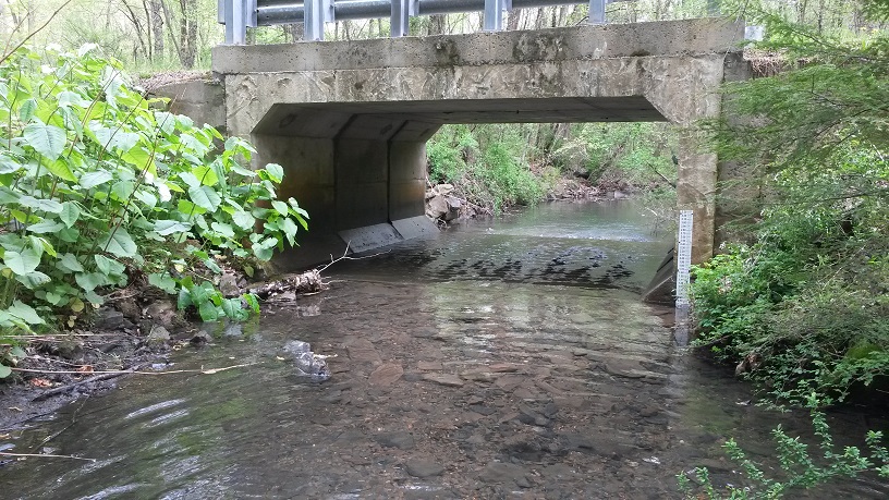
Staff gauges were installed at two of the
bridges on West Creek.
|
|

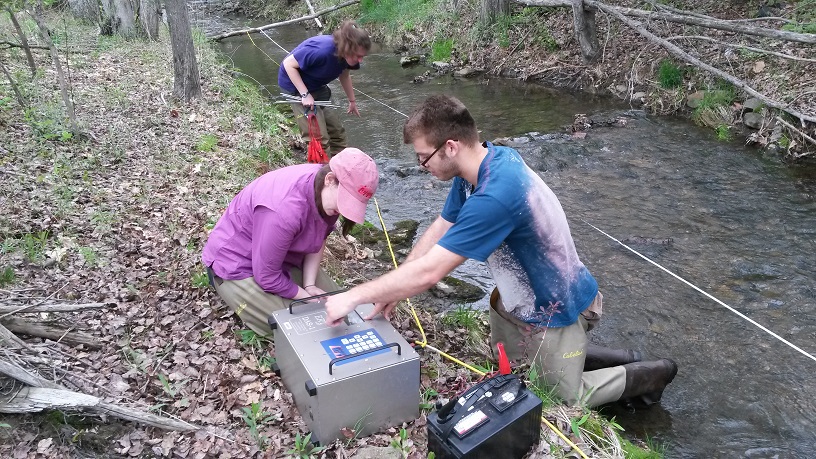
Sebastien Treciak, Alexandra Racosky, and
Emily Snyder set up the resistivity survey
line.
|
Twelve resistivity surveys were performed
along West Creek south of Forestville using
a dipole-dipole array with 5-meter electrode
spacing. An
MPT
DAS-1 Electrical Impedance Tomography system
was used for the resistivity measurements.
Stream discharge measurements were taken above and
below each resistivity survey and water quality measurements were made using a YSI 556 multiparameter water
quality meter to provide temperature, pH,
specific conductance, dissolved oxygen, and
redox potential data.
|
|
Ten vertical temperature probes were constructed
to measure the stream channel temperature
profile at five locations over the course of
four months.
Thermocron iButtons, model #DS1922L,
were used to record the temperature
measurements. Four temperature sensors were
installed in cavities drilled into each
probe. The cavities were filled with
silicone and the sensors were inserted into
the silicone to create a waterproof seal.
The first sensor was installed on a level
with the streambed. The three subsurface
sensors were installed at depths of 0.03m,
0.06m and 0.10m. Temperature measurements
were made every 20 minutes for a period of 4 months between
September 2014 and
January 2015.
|

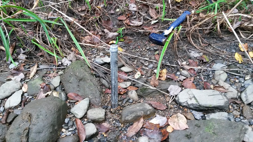
Temperature probe installed in the dry
stream channel in September 2014. |