Musa, Dea, Laura Sherrod,
Kozlowski, Andres, Bird, Brian, Snyder, Emily, Treciak, Sebastien,
and Spielman, Alex, 2014,
Geophysical Mapping of Brine Springs in the Montezuma Wetlands
Complex, NY: 27th Annual Symposium on the Application of
Geophysics to Engineering and Environmental Problems (SAGEEP),
Boston, MA, (March 17-19).
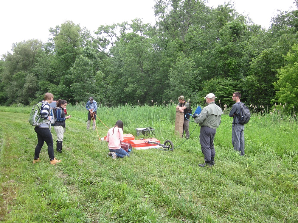 The Montezuma
Wetlands Complex of New York, an important hydrological and
ecological setting, was revisited in the summer of 2013. This area
consists of a plethora of glacial sediments, which contributes to
the interesting hydrological systems. Underground brine springs,
an unexpected phenomenon in continental wetlands, were of interest
during this study. Resistivity, Ground Penetrating Radar (GPR),
and borehole analysis were used to better understand the origin
and pathways of the brine springs. Resistivity data were acquired
with an MPT DAS-1 system at a 5 meter electrode spacing using a
dipole-dipole array. A GSSI SIR 3000 system with 100 and 200 MHz
antennas was used to collect the GPR data. We surveyed two
perpendicular transects, spanning 1390 meters in the north-south
direction and covering approximately 2000 meters in the east-west
transect. Borehole logs were taken at six locations along the
transects, confirming sediments identified by GPR and resistivity.
The presence of high conductivity subsurface brine springs in the
north and east, depended on the types of sediments in the
subsurface. Along the east-west transect, an overall transition
was observed from more conductive (0.8-1.5 m) coarse sand with
brine in the east, to more resistive zones (10-30 m) of finer
silts and clays with fresh water moving westward, with the
highest resistivity (90-104 m) areas composed of a dense
diamicton at the western end of the line. The locations of
higher conductivity, as measured by the resistivity surveys, also
yielded more attenuated GPR response when compared to more
resistive locations in the south and west. The unique observation
of resistive sandy sediment saturated in brine within a wetlands
complex, of which much of the sediment is clay saturated with
fresh water, is a novel use of geophysical methods in the
Montezuma Wetlands.
The Montezuma
Wetlands Complex of New York, an important hydrological and
ecological setting, was revisited in the summer of 2013. This area
consists of a plethora of glacial sediments, which contributes to
the interesting hydrological systems. Underground brine springs,
an unexpected phenomenon in continental wetlands, were of interest
during this study. Resistivity, Ground Penetrating Radar (GPR),
and borehole analysis were used to better understand the origin
and pathways of the brine springs. Resistivity data were acquired
with an MPT DAS-1 system at a 5 meter electrode spacing using a
dipole-dipole array. A GSSI SIR 3000 system with 100 and 200 MHz
antennas was used to collect the GPR data. We surveyed two
perpendicular transects, spanning 1390 meters in the north-south
direction and covering approximately 2000 meters in the east-west
transect. Borehole logs were taken at six locations along the
transects, confirming sediments identified by GPR and resistivity.
The presence of high conductivity subsurface brine springs in the
north and east, depended on the types of sediments in the
subsurface. Along the east-west transect, an overall transition
was observed from more conductive (0.8-1.5 m) coarse sand with
brine in the east, to more resistive zones (10-30 m) of finer
silts and clays with fresh water moving westward, with the
highest resistivity (90-104 m) areas composed of a dense
diamicton at the western end of the line. The locations of
higher conductivity, as measured by the resistivity surveys, also
yielded more attenuated GPR response when compared to more
resistive locations in the south and west. The unique observation
of resistive sandy sediment saturated in brine within a wetlands
complex, of which much of the sediment is clay saturated with
fresh water, is a novel use of geophysical methods in the
Montezuma Wetlands.